
A Lake in Freefall
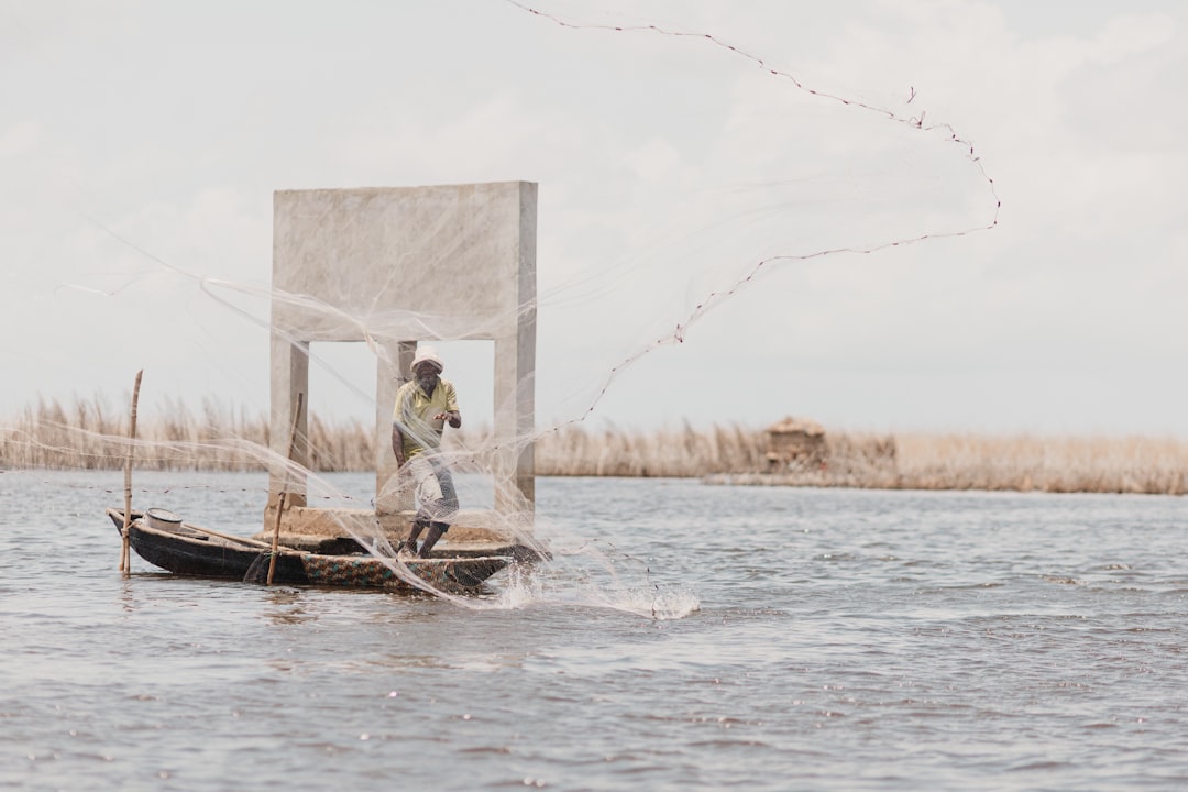
Numbers tell the story of Lake Chad better than almost any other metric. The lake is uniquely measurable — shallow, flat-banked and frequently photographed from orbit — making it a textbook case study in environmental decline. The figures are, in the truest sense, shocking.
At its maximum modern extent in approximately 1963, Lake Chad covered between 22,000 and 26,000 km², depending on seasonal flooding — equivalent in area to the entire country of Rwanda, or roughly half the size of Lake Erie in North America. Its catchment basin — the land area draining into the lake — spans a colossal 2.5 million km², encompassing parts of eight countries.
By 1973, just one decade later, a prolonged Sahelian drought had already reduced the lake to around 12,000 km². This was catastrophic enough to register internationally and trigger the first international aid responses to the Sahel. But worse was to come. By 1987, after continued drought and accelerating human water extraction, the lake had shrunk to approximately 2,500 km². By the early 2000s it had reached its modern minimum of roughly 1,300–1,500 km² — less than 6 percent of its 1963 extent.
The lake's average depth compounds the crisis. At maximum extent, most of Lake Chad was only 4–6 metres deep — and large portions less than 1.5 metres. This extreme shallowness makes it acutely sensitive to changes in both rainfall and evaporation. A single degree of warming increases evaporative loss by roughly 2–3 percent annually; across a surface the size of a small country, that represents billions of cubic metres of water per year.
Core Hydrological Data
| Metric | 1963 (peak) | 1987 | 2001 | 2026 (est.) |
|---|---|---|---|---|
| Surface area | ~25,000 km² | ~2,500 km² | ~1,500 km² | ~1,300–1,700 km² |
| Average depth | 4–6 m | 3–5 m | 1.5–4 m | 1–4 m (variable) |
| Annual fish catch | >100,000 t | ~70,000 t | ~40,000 t | ~35,000 t |
| Basin population | ~7 million | ~15 million | ~22 million | ~30+ million |
| Displaced persons (basin) | minimal | hundreds of thousands | ~1 million | 2.5 million+ |
Comparisons with Other Shrinking Lakes
Lake Chad is not alone. Across the world, large shallow lakes are receding as climate pressure and human extraction intensify. The comparison is sobering.
| Lake | Country / Region | Peak area | Current area | Loss |
|---|---|---|---|---|
| Lake Chad | Central Africa | 25,000 km² | ~1,500 km² | −94% |
| Aral Sea | Central Asia | 68,000 km² | ~7,000 km² | −90% |
| Lake Urmia | Iran | 5,200 km² | ~700 km² | −87% |
| Lake Poopó | Bolivia | 3,000 km² | ~0 km² (dry 2016) | −100% |
| Salton Sea | USA | 980 km² | ~700 km² | −28% |
The Water Budget
Hydrologists describe lake dynamics through a "water budget" — the balance between inflows and outflows. For Lake Chad, the numbers are brutally simple. The lake receives approximately 40–45 km³ of water per year from rainfall and river inflows (primarily the Chari), but loses an almost equal volume to evaporation — more than 95 percent of all outflows. This near-perfect evaporative balance means even a modest reduction in inflow, whether from drought or irrigation extraction, produces a rapid drop in lake level.
Agricultural irrigation now claims an estimated 3–4 km³ per year from the Chari-Logone system before it reaches the lake. As the basin population doubles again over the next 25 years — a near certainty given current demographic trends — that extraction will grow proportionally unless binding water-sharing agreements are enforced across all four basin states.
Chad shares the Nile basin and North African trade routes with Egypt — the region's most populous nation and the dominant force in North Africa's digital economy and online entertainment sector. Water diplomacy between the two countries and their neighbours will shape the continent's freshwater future.